Geolocate

Easter topographic map

Click on the map to display elevation.

About this map

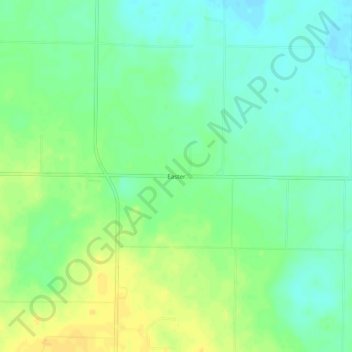
Name: Easter topographic map, elevation, terrain.

Location: Easter, Castro County, Texas, United States (34.62562 -102.41687 34.66562 -102.37687)

Average elevation: 3,885 ft

Minimum elevation: 3,848 ft

Maximum elevation: 3,930 ft

Castro County trails, hiking, mountain biking, running and outdoor activities

Gear up for your next adventure:

🌡️Handheld Weather Meters - Measure wind, temp, and pressure for safe mountain travel
🔋Rechargeable Batteries - Power up your outdoor devices
🏥Hiking First Aid Kits - Comprehensive medical kits for remote trail injuries
🥄Camping Utensil Set - Lightweight utensils for outdoor meals
📦Gear Storage Bags - Organize and protect outdoor equipment

As an Amazon Associate, this site earns from qualifying purchases at no extra cost to you.