Geolocate

Dhamdaha topographic map

Click on the map to display elevation.

About this map

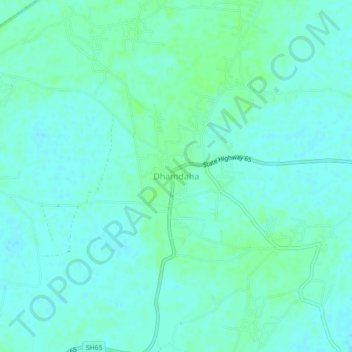
Name: Dhamdaha topographic map, elevation, terrain.

Location: Dhamdaha, Purnia District, Bihar, 854205, India (25.71706 87.15971 25.75706 87.19971)

Average elevation: 135 ft

Minimum elevation: 121 ft

Maximum elevation: 148 ft

Gear up for your next adventure:

🌡️Portable Weather Meter - Track weather conditions on the trail
🪶Multi‑Purpose Knife - Useful blade for camp and trail
🥾Men's Hiking Boots - Durable, waterproof footwear for rugged terrain and steep inclines
🧼Biodegradable Camping Soap - Eco‑friendly soap for outdoor hygiene
Solar GPS Watches - Advanced multisport watches with built-in topographic maps

As an Amazon Associate, this site earns from qualifying purchases at no extra cost to you.