
Coon Valley topographic map
Interactive map
Click on the map to display elevation.
About this map
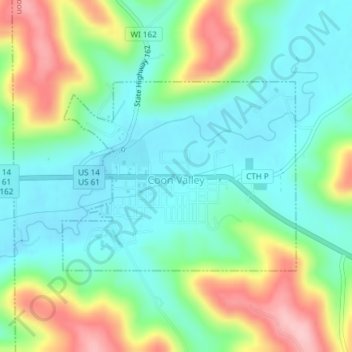
Name: Coon Valley topographic map, elevation, terrain.
Location: Coon Valley, Vernon County, Wisconsin, United States (43.69521 -91.02529 43.70971 -91.00046)
Average elevation: 889 ft
Minimum elevation: 712 ft
Maximum elevation: 1,257 ft
Vernon County trails, hiking, mountain biking, running and outdoor activities
Other topographic maps
Click on a map to view its topography, its elevation and its terrain.