
Thank you for supporting this site ❤️
Make a donation
Make a donation
Gear up for your next adventure:
As an Amazon Associate, this site earns from qualifying purchases at no extra cost to you.
Lammertal topographic map
Click on the map to display elevation.
Thank you for supporting this site ❤️
Make a donation
Make a donation
Gear up for your next adventure:
As an Amazon Associate, this site earns from qualifying purchases at no extra cost to you.
About this map
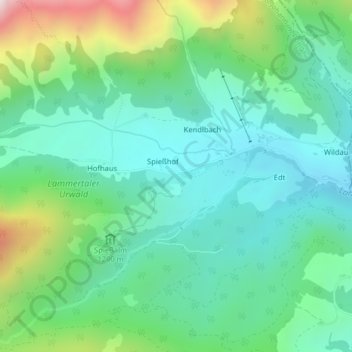
Name: Lammertal topographic map, elevation, terrain.
Location: Lammertal, Spießhof, Salzburg, 5522, Austria (47.48695 13.35747 47.50695 13.37747)
Average elevation: 3,625 ft
Minimum elevation: 2,838 ft
Maximum elevation: 5,804 ft
Thank you for supporting this site ❤️
Make a donation
Make a donation
Gear up for your next adventure:
As an Amazon Associate, this site earns from qualifying purchases at no extra cost to you.