
Vining topographic map
Click on the map to display elevation.
About this map
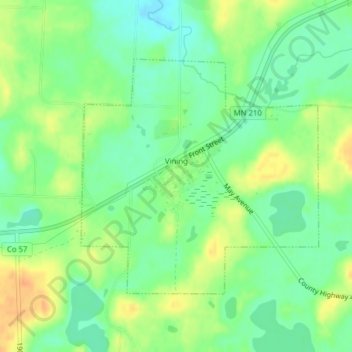
Name: Vining topographic map, elevation, terrain.
Location: Vining, Otter Tail County, Minnesota, United States (46.25295 -95.54771 46.27097 -95.52133)
Average elevation: 1,394 ft
Minimum elevation: 1,342 ft
Maximum elevation: 1,460 ft
Otter Tail County trails, hiking, mountain biking, running and outdoor activities
Other topographic maps
Click on a map to view its topography, its elevation and its terrain.
Mills Manor Mobile Home Park
United States > Minnesota > Otter Tail County > New York Mills > Mills Manor Mobile Home Park
Average elevation: 1,407 ft
Fergus Falls
United States > Minnesota > Otter Tail County > Fergus Falls > Fergus Falls
Average elevation: 1,230 ft
West Battle Lake
United States > Minnesota > Otter Tail County > Battle Lake
Average elevation: 1,352 ft