Geolocate

Lockney topographic map

Click on the map to display elevation.

About this map

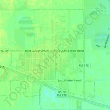
Name: Lockney topographic map, elevation, terrain.

Location: Lockney, Floyd County, Texas, 79241, United States (34.11221 -101.45891 34.13473 -101.42975)

Average elevation: 3,274 ft

Minimum elevation: 3,245 ft

Maximum elevation: 3,287 ft

Floyd County trails, hiking, mountain biking, running and outdoor activities

Gear up for your next adventure:

🔥Plasma Lighters - Windproof lighters that work in any weather condition
🧤Hiking Gloves - Protective gloves for rugged trails
🧥Men's Rain Shells - Premium waterproof and breathable jackets for mountain weather
🪶Paracord Bracelet - Survival bracelet with built‑in tools
🪶Survival Guide Book - Expert advice for emergency preparedness

As an Amazon Associate, this site earns from qualifying purchases at no extra cost to you.