
Cape Cod Canal topographic map
Click on the map to display elevation.
About this map
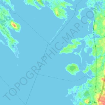
Name: Cape Cod Canal topographic map, elevation, terrain.
Average elevation: 10 ft
Minimum elevation: -20 ft
Maximum elevation: 138 ft
Barnstable County trails, hiking, mountain biking, running and outdoor activities
Other topographic maps
Click on a map to view its topography, its elevation and its terrain.
Red Brook Pond Dam
United States > Massachusetts > Barnstable County > Bourne
Average elevation: 39 ft