Geolocate

Runisaidpur topographic map

Click on the map to display elevation.

About this map

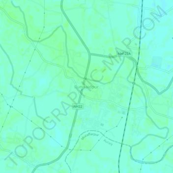
Name: Runisaidpur topographic map, elevation, terrain.

Location: Runisaidpur, Sitamarhi District, Bihar, India (26.37172 85.48567 26.41172 85.52567)

Average elevation: 190 ft

Minimum elevation: 177 ft

Maximum elevation: 200 ft

Gear up for your next adventure:

🥾Women's Hiking Boots - Top-rated trail boots with ankle support and superior grip
🥤Water Filter Bottle - All‑in‑one filter bottle for safe hydration
📶Vehicle Signal Boosters - Improve reception in rural areas while driving to trailheads
Backpacking Tents - Weight-optimized shelters for multi-day topographic surveys
Solar GPS Watches - Advanced multisport watches with built-in topographic maps

As an Amazon Associate, this site earns from qualifying purchases at no extra cost to you.