
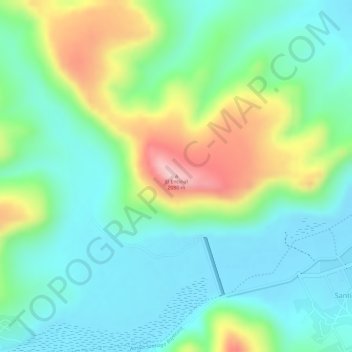
El Encinal topographic map
Interactive map
Click on the map to display elevation.
About this map
Name: El Encinal topographic map, elevation, terrain.
Location: El Encinal, Durango, México (23.90243 -104.62970 23.90253 -104.62960)
Average elevation: 6,411 ft
Minimum elevation: 6,194 ft
Maximum elevation: 6,867 ft
Other topographic maps
Click on a map to view its topography, its elevation and its terrain.
San Antonio de la Cruz
México > Durango > San Antonio de la Cruz
San Antonio de la Cruz, San Dimas, Durango, México
Average elevation: 7,799 ft