Geolocate

Serou topographic map

Click on the map to display elevation.

About this map

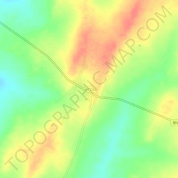
Name: Serou topographic map, elevation, terrain.

Location: Serou, Sinendé, Borgou Department, Benin (10.01725 2.50403 10.05725 2.54403)

Average elevation: 1,181 ft

Minimum elevation: 1,089 ft

Maximum elevation: 1,266 ft

Gear up for your next adventure:

👖Convertible Hiking Pants - Versatile zip-off pants for changing altitudes and temperatures
🧭Map Reading Tools - Tools and kits for map navigation
🔦LED Headlamp - Bright and durable LED headlamp for night navigation
🛠️Outdoor Gear Repair Kit - Essential tools to fix gear on the trail
🚪Portable Camp Chair - Foldable chair for comfort at camp

As an Amazon Associate, this site earns from qualifying purchases at no extra cost to you.