
Thank you for supporting this site ❤️
Make a donation
Make a donation
Gear up for your next adventure:
As an Amazon Associate, this site earns from qualifying purchases at no extra cost to you.
Tri-Kolo topographic map
Click on the map to display elevation.
Thank you for supporting this site ❤️
Make a donation
Make a donation
Gear up for your next adventure:
As an Amazon Associate, this site earns from qualifying purchases at no extra cost to you.
About this map
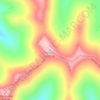
Name: Tri-Kolo topographic map, elevation, terrain.
Location: Tri-Kolo, Butha-Buthe District, Lesotho (-28.90236 28.75820 -28.90226 28.75830)
Average elevation: 10,482 ft
Minimum elevation: 9,990 ft
Maximum elevation: 10,889 ft
Thank you for supporting this site ❤️
Make a donation
Make a donation
Gear up for your next adventure:
As an Amazon Associate, this site earns from qualifying purchases at no extra cost to you.