
Awbari topographic map
Click on the map to display elevation.
About this map
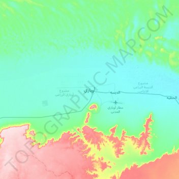
Name: Awbari topographic map, elevation, terrain.
Location: Awbari, Wadi al Hayaa, Libya (26.43094 12.60957 26.75094 12.92957)
Average elevation: 1,729 ft
Minimum elevation: 1,499 ft
Maximum elevation: 2,405 ft
Other topographic maps
Click on a map to view its topography, its elevation and its terrain.