
South Benfleet topographic map
Click on the map to display elevation.
About this map
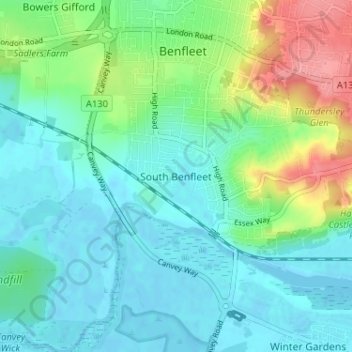
Name: South Benfleet topographic map, elevation, terrain.
Average elevation: 72 ft
Minimum elevation: -7 ft
Maximum elevation: 285 ft
Other topographic maps
Click on a map to view its topography, its elevation and its terrain.
Canvey Island
United Kingdom > England > Essex > Castle Point > Canvey
In 1607 the Elizabethan antiquarian William Camden noted in his work Britannia (a topographical and historical survey of all of Great Britain and Ireland) that Canvey Island (which he called Island Convennon) was documented in the 2nd century by the Alexandrian geographer Ptolemy. In his work Geographia,…
Average elevation: 33 ft
Canvey Island
United Kingdom > England > Essex > Castle Point > Canvey Island
In 1607 the Elizabethan antiquarian William Camden noted in his work Britannia (a topographical and historical survey of all of Great Britain and Ireland) that Canvey Island (which he called Island Convennon) was documented in the 2nd century by the Alexandrian geographer Ptolemy. In his work Geographia,…
Average elevation: 33 ft