Geolocate

Coolidge topographic map

Click on the map to display elevation.

About this map

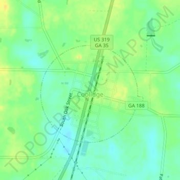
Name: Coolidge topographic map, elevation, terrain.

Location: Coolidge, Thomas County, Georgia, United States (31.00406 -83.87496 31.01972 -83.85703)

Average elevation: 256 ft

Minimum elevation: 220 ft

Maximum elevation: 295 ft

Thomas County trails, hiking, mountain biking, running and outdoor activities

Other topographic maps

Click on a map to view its topography, its elevation and its terrain.

Fletcherville

United States > Georgia > Thomas County > Thomasville

Average elevation: 276 ft

Watts Branch

United States > Georgia > Thomas County

Average elevation: 230 ft

Ochlockonee River

United States > Georgia > Thomas County

Average elevation: 230 ft

Gear up for your next adventure:

🧭Outdoor Navigation Book - Learn advanced navigation skills
🔋Solar Power Banks - Keep your GPS and phone charged in remote wilderness areas
🏕️Tent Footprint - Protect your tent base from wear
🪶Fire Starter Kit - Reliable fire starter for survival and camping
🔪Outdoor Multitools - Essential survival tools for gear repair and field use

As an Amazon Associate, this site earns from qualifying purchases at no extra cost to you.