
Thomaston topographic map
Click on the map to display elevation.
About this map
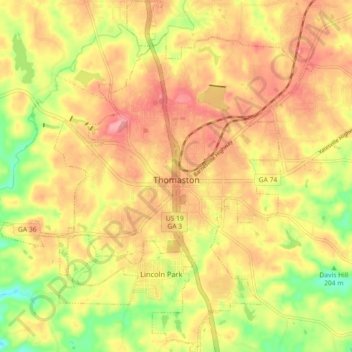
Name: Thomaston topographic map, elevation, terrain.
Location: Thomaston, Upson County, Georgia, United States (32.85125 -84.37211 32.92684 -84.29142)
Average elevation: 702 ft
Minimum elevation: 495 ft
Maximum elevation: 850 ft
Upson County trails, hiking, mountain biking, running and outdoor activities
Other topographic maps
Click on a map to view its topography, its elevation and its terrain.