
Mirador de La Arboleda topographic map
Interactive map
Click on the map to display elevation.
About this map
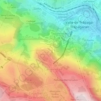
Name: Mirador de La Arboleda topographic map, elevation, terrain.
Average elevation: 787 ft
Minimum elevation: 30 ft
Maximum elevation: 1,699 ft