
Thank you for supporting this site ❤️
Make a donation
Make a donation
Gear up for your next adventure:
As an Amazon Associate, this site earns from qualifying purchases at no extra cost to you.
Mutluca topographic map
Click on the map to display elevation.
Thank you for supporting this site ❤️
Make a donation
Make a donation
Gear up for your next adventure:
As an Amazon Associate, this site earns from qualifying purchases at no extra cost to you.
About this map
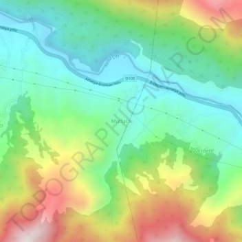
Name: Mutluca topographic map, elevation, terrain.
Location: Mutluca, Niksar, Tokat, Black Sea Region, Turkey (40.40941 37.09406 40.44941 37.13406)
Average elevation: 2,323 ft
Minimum elevation: 1,188 ft
Maximum elevation: 4,426 ft
Thank you for supporting this site ❤️
Make a donation
Make a donation
Gear up for your next adventure:
As an Amazon Associate, this site earns from qualifying purchases at no extra cost to you.