
Prypiat topographic map
Click on the map to display elevation.
About this map
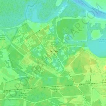
Name: Prypiat topographic map, elevation, terrain.
Location: Prypiat, Vyshhorod Raion, Kyiv Oblast, Ukraine (51.39446 30.02756 51.41603 30.08274)
Average elevation: 364 ft
Minimum elevation: 328 ft
Maximum elevation: 404 ft
Other topographic maps
Click on a map to view its topography, its elevation and its terrain.