Geolocate

Huron topographic map

Click on the map to display elevation.

About this map

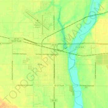
Name: Huron topographic map, elevation, terrain.

Location: Huron, Beadle County, South Dakota, 57350, United States (44.32698 -98.25851 44.39964 -98.15393)

Average elevation: 1,283 ft

Minimum elevation: 1,227 ft

Maximum elevation: 1,325 ft

Beadle County trails, hiking, mountain biking, running and outdoor activities

Other topographic maps

Click on a map to view its topography, its elevation and its terrain.

Lake Byron

United States > South Dakota > Beadle County

Average elevation: 1,273 ft

Lake Byron

United States > South Dakota > Beadle County

Average elevation: 1,273 ft

Gear up for your next adventure:

🌲Outdoor Survival Books - Best books on survival skills
🪶Fire Starter Kit - Reliable fire starter for survival and camping
GPS Sports Watch - GPS watch for running, hiking and training
🚑Emergency Bivvies - Heat-reflective sleeping bags for survival situations
🔦LED Headlamp - Bright and durable LED headlamp for night navigation

As an Amazon Associate, this site earns from qualifying purchases at no extra cost to you.