
Thank you for supporting this site ❤️
Make a donation
Make a donation
Gear up for your next adventure:
As an Amazon Associate, this site earns from qualifying purchases at no extra cost to you.
Mecaya topographic map
Click on the map to display elevation.
Thank you for supporting this site ❤️
Make a donation
Make a donation
Gear up for your next adventure:
As an Amazon Associate, this site earns from qualifying purchases at no extra cost to you.
About this map
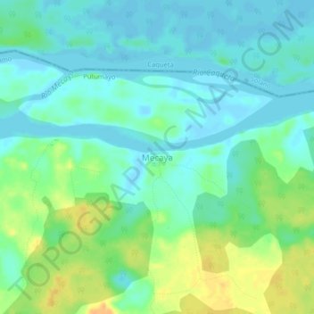
Name: Mecaya topographic map, elevation, terrain.
Location: Mecaya, Puerto Leguízamo, Putumayo, RAP Amazonía, Colombia (0.45387 -75.19413 0.49387 -75.15413)
Average elevation: 620 ft
Minimum elevation: 587 ft
Maximum elevation: 689 ft
Thank you for supporting this site ❤️
Make a donation
Make a donation
Gear up for your next adventure:
As an Amazon Associate, this site earns from qualifying purchases at no extra cost to you.