Geolocate

Debra topographic map

Click on the map to display elevation.

About this map

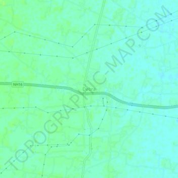
Name: Debra topographic map, elevation, terrain.

Location: Debra, Paschim Medinipur, West Bengal, 721126, India (22.37555 87.54160 22.41555 87.58160)

Average elevation: 46 ft

Minimum elevation: 33 ft

Maximum elevation: 62 ft

Gear up for your next adventure:

🧤Tactile Hiking Gloves - Keep hands warm while operating GPS and smartphone screens
🛶Inflatable Kayak - Portable kayak for rivers, lakes, and expeditions
👓Polarized Sunglasses - Outdoor sunglasses for glare reduction
📱Heavy-Duty Phone Cases - Drop-proof and waterproof protection for outdoor navigation
🌡️Handheld Weather Meters - Measure wind, temp, and pressure for safe mountain travel

As an Amazon Associate, this site earns from qualifying purchases at no extra cost to you.