
Thank you for supporting this site ❤️
Make a donation
Make a donation
Gear up for your next adventure:
As an Amazon Associate, this site earns from qualifying purchases at no extra cost to you.
Arbiglia topographic map
Click on the map to display elevation.
Thank you for supporting this site ❤️
Make a donation
Make a donation
Gear up for your next adventure:
As an Amazon Associate, this site earns from qualifying purchases at no extra cost to you.
About this map
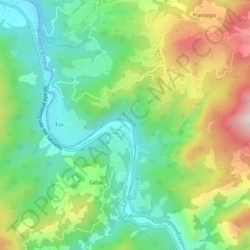
Name: Arbiglia topographic map, elevation, terrain.
Location: Arbiglia, Cartosio, Alessandria, Piemonte, Italia (44.54857 8.43512 44.56857 8.45512)
Average elevation: 1,211 ft
Minimum elevation: 719 ft
Maximum elevation: 2,064 ft
Thank you for supporting this site ❤️
Make a donation
Make a donation
Gear up for your next adventure:
As an Amazon Associate, this site earns from qualifying purchases at no extra cost to you.