
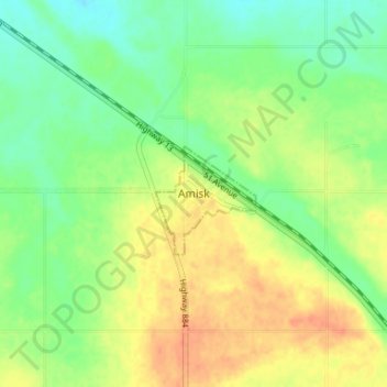
Amisk topographic map
Interactive map
Click on the map to display elevation.
About this map
Name: Amisk topographic map, elevation, terrain.
Location: Amisk, Village of Amisk, Alberta, Canada (52.54466 -111.07918 52.58466 -111.03918)
Average elevation: 2,323 ft
Minimum elevation: 2,264 ft
Maximum elevation: 2,388 ft