
Olenegorsk topographic map
Interactive map
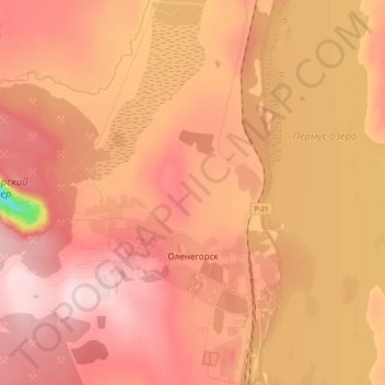
Click on the map to display elevation.
About this map
Name: Olenegorsk topographic map, elevation, terrain.
Average elevation: 528 ft
Minimum elevation: 39 ft
Maximum elevation: 741 ft
Other topographic maps
Click on a map to view its topography, its elevation and its terrain.
Olenegorsk
Russia > Murmansk Oblast > Olenegorsk
Olenegorsk, Murmansk Oblast, Northwestern Federal District, Russia
Average elevation: 531 ft