
Thank you for supporting this site ❤️
Make a donation
Make a donation
Gear up for your next adventure:
As an Amazon Associate, this site earns from qualifying purchases at no extra cost to you.
Sanjiadian topographic map
Click on the map to display elevation.
Thank you for supporting this site ❤️
Make a donation
Make a donation
Gear up for your next adventure:
As an Amazon Associate, this site earns from qualifying purchases at no extra cost to you.
About this map
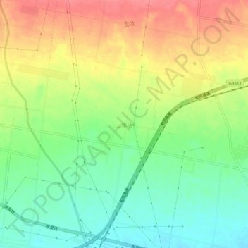
Name: Sanjiadian topographic map, elevation, terrain.
Location: Sanjiadian, Baoji, Shaanxi, China (34.53256 107.32419 34.57256 107.36419)
Average elevation: 2,756 ft
Minimum elevation: 2,641 ft
Maximum elevation: 2,887 ft
Thank you for supporting this site ❤️
Make a donation
Make a donation
Gear up for your next adventure:
As an Amazon Associate, this site earns from qualifying purchases at no extra cost to you.