Geolocate

Amparo topographic map

Click on the map to display elevation.

About this map

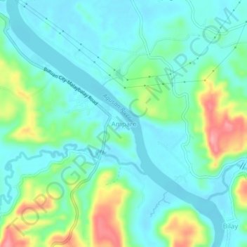
Name: Amparo topographic map, elevation, terrain.

Location: Amparo, Butuan, Caraga, Philippines (8.84451 125.53895 8.88451 125.57895)

Average elevation: 105 ft

Minimum elevation: 13 ft

Maximum elevation: 364 ft

Gear up for your next adventure:

🧯Portable Fire Pit - Compact fire pit for camping spots
🎒Trail Energy Bars - High‑calorie bars for hiking energy
🛰️Satellite Messengers - Emergency SOS and two-way messaging for off-grid adventures
🧢Sun Protection Hats - Wide-brimmed and UPF-rated hats for high-altitude sun safety
📻Weather Alert Radios - Stay informed of storm risks while off-the-grid

As an Amazon Associate, this site earns from qualifying purchases at no extra cost to you.