
Thank you for supporting this site ❤️
Make a donation
Make a donation
Gear up for your next adventure:
As an Amazon Associate, this site earns from qualifying purchases at no extra cost to you.
Fallascoso topographic map
Click on the map to display elevation.
Thank you for supporting this site ❤️
Make a donation
Make a donation
Gear up for your next adventure:
As an Amazon Associate, this site earns from qualifying purchases at no extra cost to you.
About this map
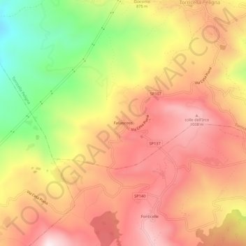
Name: Fallascoso topographic map, elevation, terrain.
Location: Fallascoso, Torricella Peligna, Chieti, Abruzzo, 66019, Italy (41.98487 14.22233 42.02487 14.26233)
Average elevation: 2,753 ft
Minimum elevation: 1,601 ft
Maximum elevation: 3,550 ft
Thank you for supporting this site ❤️
Make a donation
Make a donation
Gear up for your next adventure:
As an Amazon Associate, this site earns from qualifying purchases at no extra cost to you.