Geolocate

Föching topographic map

Click on the map to display elevation.

About this map

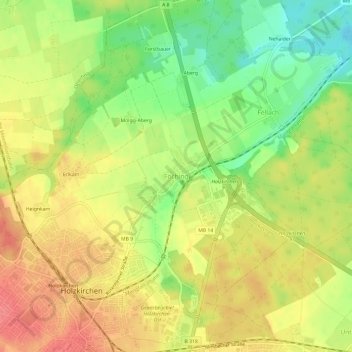
Name: Föching topographic map, elevation, terrain.

Location: Föching, Holzkirchen, Landkreis Miesbach, Bayern, 83607, Deutschland (47.87620 11.69651 47.91620 11.73651)

Average elevation: 2,195 ft

Minimum elevation: 2,073 ft

Maximum elevation: 2,293 ft

Other topographic maps

Click on a map to view its topography, its elevation and its terrain.

83607

Deutschland > Bayern > Landkreis Miesbach > Holzkirchen

Average elevation: 2,316 ft

Gear up for your next adventure:

🧭GPS Watch Accessories - Bands and chargers for GPS watches
🥘Titanium Cookware - Durable, featherlight pots and pans for backpacking
🕶️Glacier Sunglasses - Side shields to protect eyes from high-altitude snow glare
🕶️GPS Smartphone Mount - Secure mount for phone navigation
💧Water Filtration Bottles - Safely drink from streams and lakes while exploring

As an Amazon Associate, this site earns from qualifying purchases at no extra cost to you.