Geolocate

Brookston topographic map

Click on the map to display elevation.

About this map

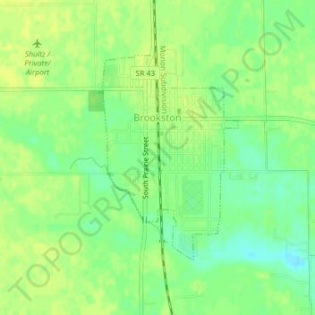
Name: Brookston topographic map, elevation, terrain.

Location: Brookston, White County, Indiana, United States (40.59054 -86.87345 40.60819 -86.85813)

Average elevation: 682 ft

Minimum elevation: 646 ft

Maximum elevation: 699 ft

White County trails, hiking, mountain biking, running and outdoor activities

Gear up for your next adventure:

🎒Hydration Pack - Hands‑free water reservoir for long hikes
🪓Survival Multi‑Tool - Versatile tool for camp and trail tasks
🛰️Handheld GPS Units - Professional satellite navigators for precise backcountry mapping
🧢Outdoor Hiking Hat - Sun protection hat for outdoor explorers
🌐World Map Poster - Decorative world maps with topographic info

As an Amazon Associate, this site earns from qualifying purchases at no extra cost to you.