
伞陂镇 topographic map
Interactive map
Click on the map to display elevation.
About this map
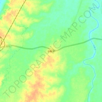
Name: 伞陂镇 topographic map, elevation, terrain.
Location: 伞陂镇, 潢川县, 信阳市, 河南省, 中国 (32.08933 115.12132 32.16933 115.20132)
Average elevation: 164 ft
Minimum elevation: 115 ft
Maximum elevation: 226 ft
Other topographic maps
Click on a map to view its topography, its elevation and its terrain.