
双柳树镇 topographic map
Interactive map
Click on the map to display elevation.
About this map
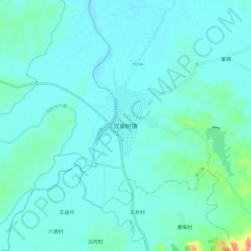
Name: 双柳树镇 topographic map, elevation, terrain.
Location: 双柳树镇, 潢川县, 信阳市, 河南省, 中国 (31.88406 115.14403 31.96406 115.22403)
Average elevation: 226 ft
Minimum elevation: 167 ft
Maximum elevation: 663 ft
Other topographic maps
Click on a map to view its topography, its elevation and its terrain.