
Thank you for supporting this site ❤️
Make a donation
Make a donation
Gear up for your next adventure:
As an Amazon Associate, this site earns from qualifying purchases at no extra cost to you.
Caraveli topographic map
Click on the map to display elevation.
Thank you for supporting this site ❤️
Make a donation
Make a donation
Gear up for your next adventure:
As an Amazon Associate, this site earns from qualifying purchases at no extra cost to you.
About this map
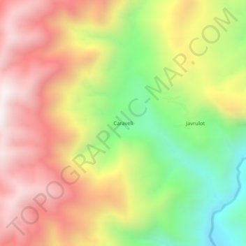
Name: Caraveli topographic map, elevation, terrain.
Location: Caraveli, Huicungo, Mariscal Cáceres, San Martín, Perú (-6.66372 -77.30037 -6.62372 -77.26037)
Average elevation: 5,125 ft
Minimum elevation: 3,068 ft
Maximum elevation: 6,995 ft
Thank you for supporting this site ❤️
Make a donation
Make a donation
Gear up for your next adventure:
As an Amazon Associate, this site earns from qualifying purchases at no extra cost to you.