
Hanfeld topographic map
Click on the map to display elevation.
Hanfeld
Hanfeld liegt circa drei Kilometer nördlich der Starnberger Stadtmitte auf einer Höhe von 655 m ü. NHN. Die Fluren der Gemarkung befinden sich in der Übergangszone von Jungmoränen aus der Würm-Kaltzeit und Altmoränenresten aus der Riß-Kaltzeit. Da aufgrund von Lössablagerungen im Bereich der Altmoräne die für den Ackerbau wesentlich ertragreicheren Böden vorhanden sind, haben Hanfelds Äcker und Wiesen die höchste Bonitätsstufe der im Stadtbereich landwirtschaftlich genutzten Flächen.
About this map
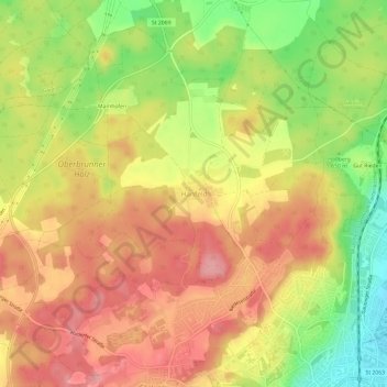
Name: Hanfeld topographic map, elevation, terrain.
Average elevation: 2,133 ft
Minimum elevation: 1,913 ft
Maximum elevation: 2,290 ft