Geolocate

Grandview topographic map

Click on the map to display elevation.

About this map

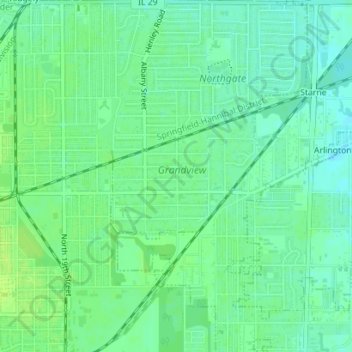
Name: Grandview topographic map, elevation, terrain.

Location: Grandview, Sangamon County, Illinois, United States (39.81294 -89.62535 39.82261 -89.60890)

Average elevation: 600 ft

Minimum elevation: 577 ft

Maximum elevation: 617 ft

Sangamon County trails, hiking, mountain biking, running and outdoor activities

Other topographic maps

Click on a map to view its topography, its elevation and its terrain.

Bates

United States > Illinois > Sangamon County

Average elevation: 636 ft

Farmingdale

United States > Illinois > Sangamon County

Average elevation: 591 ft

Gear up for your next adventure:

🩳Quick‑Dry Hiking Shorts - Comfortable and quick‑dry shorts for summer hiking
🧥Waterproof Jacket for Hiking - Breathable and rugged rain jacket for outdoor excursions
🥘Titanium Cookware - Durable, featherlight pots and pans for backpacking
🪵Folding Camp Saw - Compact saw for wood and campsite work
🪑Ultralight Camp Chairs - Portable seating for resting after a long day of mapping

As an Amazon Associate, this site earns from qualifying purchases at no extra cost to you.