Geolocate

Padur topographic map

Click on the map to display elevation.

About this map

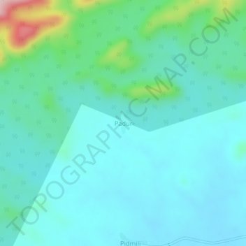
Name: Padur topographic map, elevation, terrain.

Location: Padur, Bhamragad, Gadchiroli, Maharashtra, India (19.52467 80.54620 19.56467 80.58620)

Average elevation: 886 ft

Minimum elevation: 715 ft

Maximum elevation: 1,663 ft

Gear up for your next adventure:

🔋Solar Power Banks - Keep your GPS and phone charged in remote wilderness areas
🪵Folding Camp Saw - Compact saw for wood and campsite work
Solar GPS Watches - Advanced multisport watches with built-in topographic maps
🎒Day Hiking Backpack - Lightweight backpack perfect for day trips and outdoor adventures
📷Action Camera - Capture your outdoor adventures in HD

As an Amazon Associate, this site earns from qualifying purchases at no extra cost to you.