
Berk topographic map
Interactive map
Click on the map to display elevation.
About this map
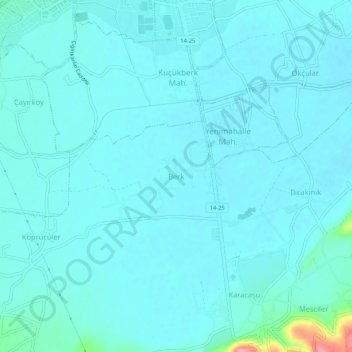
Name: Berk topographic map, elevation, terrain.
Location: Berk, Bolu, Région de la mer Noire, 14100, Turquie (40.68340 31.59226 40.72340 31.63226)
Average elevation: 2,346 ft
Minimum elevation: 2,306 ft
Maximum elevation: 2,677 ft
Other topographic maps
Click on a map to view its topography, its elevation and its terrain.