
Yolçatı topographic map
Interactive map
Click on the map to display elevation.
About this map
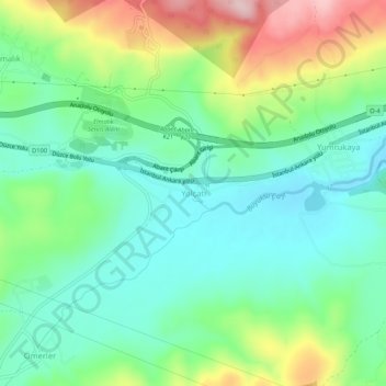
Name: Yolçatı topographic map, elevation, terrain.
Location: Yolçatı, Bolu, Région de la mer Noire, 14030, Turquie (40.69574 31.45792 40.73574 31.49792)
Average elevation: 2,805 ft
Minimum elevation: 2,539 ft
Maximum elevation: 3,373 ft
Other topographic maps
Click on a map to view its topography, its elevation and its terrain.