Geolocate

Uno topographic map

Click on the map to display elevation.

About this map

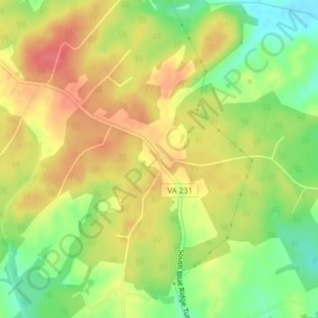
Name: Uno topographic map, elevation, terrain.

Location: Uno, Madison County, Virginia, 22972, United States (38.23902 -78.25084 38.27902 -78.21084)

Average elevation: 463 ft

Minimum elevation: 354 ft

Maximum elevation: 574 ft

Madison County trails, hiking, mountain biking, running and outdoor activities

Other topographic maps

Click on a map to view its topography, its elevation and its terrain.

Blakey Ridge

United States > Virginia > Madison County

Average elevation: 1,362 ft

Gear up for your next adventure:

📦Gear Storage Bags - Organize and protect outdoor equipment
🔥Fast-Boil Camping Stoves - Efficient cooking systems for quick trail meals
🧥Waterproof Jacket for Hiking - Breathable and rugged rain jacket for outdoor excursions
🪑Portable Camp Table - Compact table for campsite meals
Solar GPS Watches - Advanced multisport watches with built-in topographic maps

As an Amazon Associate, this site earns from qualifying purchases at no extra cost to you.