Geolocate

Pamashto topographic map

Click on the map to display elevation.

About this map

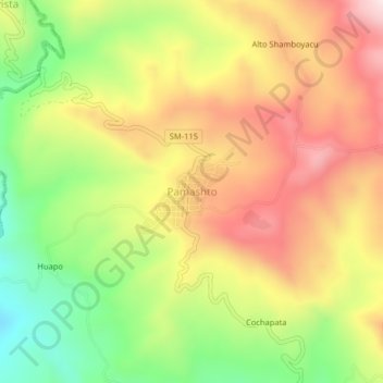
Name: Pamashto topographic map, elevation, terrain.

Location: Pamashto, Lamas, San Martín, Perú (-6.38032 -76.56303 -6.34032 -76.52303)

Average elevation: 2,270 ft

Minimum elevation: 1,371 ft

Maximum elevation: 3,130 ft

Other topographic maps

Click on a map to view its topography, its elevation and its terrain.

Gear up for your next adventure:

👟Men's Trail Runners - Lightweight footwear for fast-paced exploration and light hiking
🌐World Map Poster - Decorative world maps with topographic info
🪶LED Camping Lantern - Bright lantern for camp lighting
🥾Hiking Shoes - Durable and comfortable shoes for trail hiking
🔌Solar Panel Charger - Charge gear sustainably outdoors

As an Amazon Associate, this site earns from qualifying purchases at no extra cost to you.