
Wolf Creek Pass topographic map
Interactive map
Click on the map to display elevation.
Wolf Creek Pass
The Lobo Overlook, at 11,760 feet elevation on the north side of the pass, provides commanding views of the continental divide.
About this map
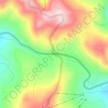
Name: Wolf Creek Pass topographic map, elevation, terrain.
Location: Wolf Creek Pass, Mineral County, Colorado, United States (37.48311 -106.80305 37.48321 -106.80295)
Average elevation: 11,053 ft
Minimum elevation: 10,394 ft
Maximum elevation: 11,772 ft
Mineral County trails, hiking, mountain biking, running and outdoor activities