
Herrin topographic map
Click on the map to display elevation.
About this map
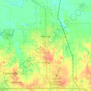
Name: Herrin topographic map, elevation, terrain.
Location: Herrin, Williamson County, Illinois, 62948, United States (37.74246 -89.06415 37.84368 -88.99433)
Average elevation: 420 ft
Minimum elevation: 358 ft
Maximum elevation: 509 ft
Williamson County trails, hiking, mountain biking, running and outdoor activities
Other topographic maps
Click on a map to view its topography, its elevation and its terrain.