
Alele topographic map
Interactive map
Click on the map to display elevation.
About this map
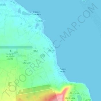
Name: Alele topographic map, elevation, terrain.
Location: Alele, Uvea, Wallis-et-Futuna, 98600, France (-13.25966 -176.20217 -13.21966 -176.16217)
Average elevation: 62 ft
Minimum elevation: 0 ft
Maximum elevation: 420 ft
Other topographic maps
Click on a map to view its topography, its elevation and its terrain.
Mata Utu
France > Wallis-et-Futuna > Uvea
Mata Utu, Uvea, Wallis-et-Futuna, 98600, France
Average elevation: 82 ft