Geolocate

Houston topographic map

Click on the map to display elevation.

About this map

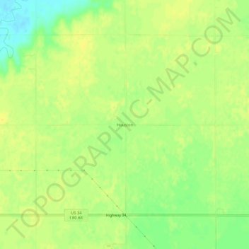
Name: Houston topographic map, elevation, terrain.

Location: Houston, York County, Nebraska, United States (40.89585 -97.56005 40.93585 -97.52005)

Average elevation: 1,640 ft

Minimum elevation: 1,594 ft

Maximum elevation: 1,663 ft

York County trails, hiking, mountain biking, running and outdoor activities

Gear up for your next adventure:

🔊Portable Camp Speaker - Music and alerts at camp
🌲Outdoor Survival Books - Best books on survival skills
🛶Inflatable Kayak - Portable kayak for rivers, lakes, and expeditions
🔌USB Car Charger - Car charger for on‑the‑go power needs
🗺️Topographic Maps - Detailed topo maps for hiking, exploring and outdoor navigation

As an Amazon Associate, this site earns from qualifying purchases at no extra cost to you.