
Thank you for supporting this site ❤️
Make a donation
Make a donation
Gear up for your next adventure:
As an Amazon Associate, this site earns from qualifying purchases at no extra cost to you.
Alfalfar topographic map
Click on the map to display elevation.
Thank you for supporting this site ❤️
Make a donation
Make a donation
Gear up for your next adventure:
As an Amazon Associate, this site earns from qualifying purchases at no extra cost to you.
About this map
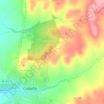
Name: Alfalfar topographic map, elevation, terrain.
Location: Alfalfar, Cobeña, Comunidad de Madrid, 28863, España (40.56701 -3.50728 40.58701 -3.48728)
Average elevation: 2,346 ft
Minimum elevation: 2,142 ft
Maximum elevation: 2,546 ft
Thank you for supporting this site ❤️
Make a donation
Make a donation
Gear up for your next adventure:
As an Amazon Associate, this site earns from qualifying purchases at no extra cost to you.