Geolocate

Vele topographic map

Click on the map to display elevation.

About this map

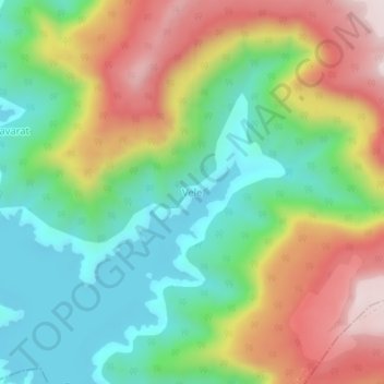
Name: Vele topographic map, elevation, terrain.

Location: Vele, Jaoli, Satara, Maharashtra, India (17.55948 73.77014 17.59948 73.81014)

Average elevation: 2,769 ft

Minimum elevation: 2,070 ft

Maximum elevation: 3,799 ft

Other topographic maps

Click on a map to view its topography, its elevation and its terrain.

Kaas Valley of Flowers

India > Maharashtra > Jaoli > Daund

Average elevation: 3,317 ft

Gear up for your next adventure:

👓Polarized Sunglasses - Outdoor sunglasses for glare reduction
🗺️Topographic Maps - Detailed topo maps for hiking, exploring and outdoor navigation
🎁Geography Themed Gifts - Unique gift ideas for map lovers and geography enthusiasts
🏕️Tent Footprint - Protect your tent base from wear
🎒Waterproof Dry Bags - Keep your electronics and maps dry inside your pack

As an Amazon Associate, this site earns from qualifying purchases at no extra cost to you.