
Selado topographic map
Interactive map
Click on the map to display elevation.
About this map
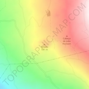
Name: Selado topographic map, elevation, terrain.
Location: Selado, Madalena, Pico, Açores, 9950, Portugal (38.46189 -28.46594 38.46199 -28.46584)
Average elevation: 1,732 ft
Minimum elevation: 581 ft
Maximum elevation: 2,789 ft
Other topographic maps
Click on a map to view its topography, its elevation and its terrain.
Cais do Mourato
Portugal > Madalena > Bandeiras
Cais do Mourato, Bandeiras, Madalena, Açores, 9950-054, Portugal
Average elevation: 105 ft
Areia Funda
Areia Funda, Madalena, Açores, 9950-334, Portugal
Average elevation: 82 ft