
Areia Funda topographic map
Interactive map
Click on the map to display elevation.
About this map
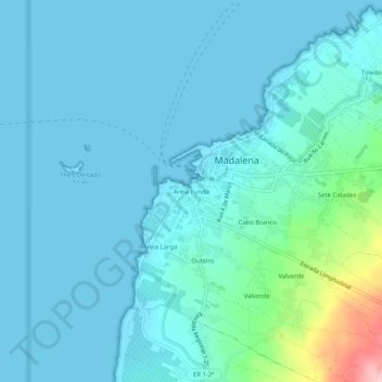
Name: Areia Funda topographic map, elevation, terrain.
Location: Areia Funda, Madalena, Açores, 9950-334, Portugal (38.51302 -28.55042 38.55302 -28.51042)
Average elevation: 82 ft
Minimum elevation: 0 ft
Maximum elevation: 653 ft
Other topographic maps
Click on a map to view its topography, its elevation and its terrain.