
Korup CTFS plot topographic map
Interactive map
Click on the map to display elevation.
About this map
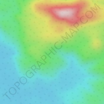
Name: Korup CTFS plot topographic map, elevation, terrain.
Location: Korup CTFS plot, Mudemba, Ndian, Southwest, Cameroon (5.06390 8.84470 5.08390 8.86470)
Average elevation: 873 ft
Minimum elevation: 443 ft
Maximum elevation: 1,772 ft