
Thank you for supporting this site ❤️
Make a donation
Make a donation
Gear up for your next adventure:
As an Amazon Associate, this site earns from qualifying purchases at no extra cost to you.
Rosario topographic map
Click on the map to display elevation.
Thank you for supporting this site ❤️
Make a donation
Make a donation
Gear up for your next adventure:
As an Amazon Associate, this site earns from qualifying purchases at no extra cost to you.
About this map
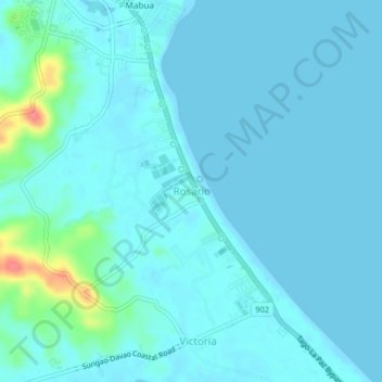
Name: Rosario topographic map, elevation, terrain.
Location: Rosario, Tandag, Surigao del Sur, Caraga, 8300, Philippines (9.03055 126.18904 9.07055 126.22904)
Average elevation: 26 ft
Minimum elevation: -3 ft
Maximum elevation: 226 ft
Thank you for supporting this site ❤️
Make a donation
Make a donation
Gear up for your next adventure:
As an Amazon Associate, this site earns from qualifying purchases at no extra cost to you.