
Thank you for supporting this site ❤️
Make a donation
Make a donation
Gear up for your next adventure:
As an Amazon Associate, this site earns from qualifying purchases at no extra cost to you.
Line topographic map
Click on the map to display elevation.
Thank you for supporting this site ❤️
Make a donation
Make a donation
Gear up for your next adventure:
As an Amazon Associate, this site earns from qualifying purchases at no extra cost to you.
About this map
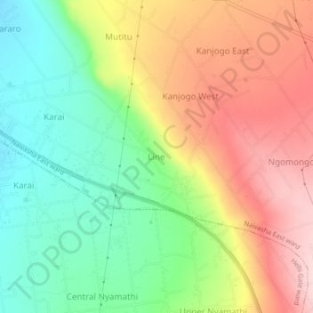
Name: Line topographic map, elevation, terrain.
Location: Line, Naivasha East ward, Naivasha, Nakuru, Rift Valley, Kenya (-0.78421 36.48243 -0.74421 36.52243)
Average elevation: 7,280 ft
Minimum elevation: 6,900 ft
Maximum elevation: 7,726 ft
Thank you for supporting this site ❤️
Make a donation
Make a donation
Gear up for your next adventure:
As an Amazon Associate, this site earns from qualifying purchases at no extra cost to you.